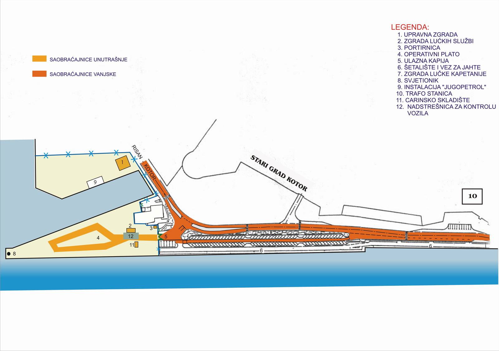
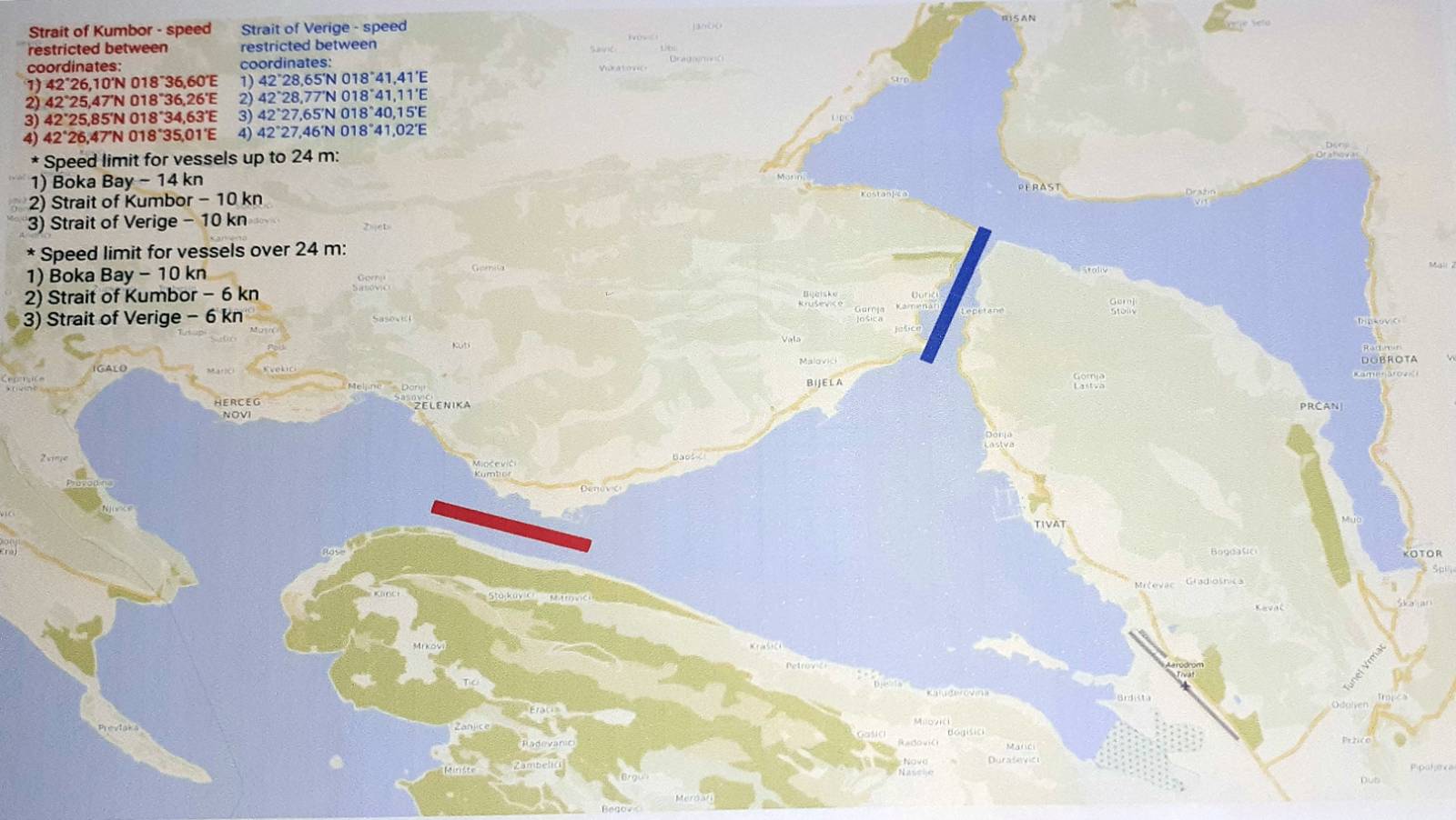
Position
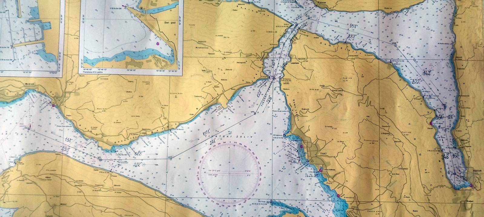
- Latitude 42˚25,5' North latitude
- Longitude 18˚46,1' East longitude
- Pilot card: Lko66- Pilot information card
Access to port navigational waterway
- The waterway from the pilot station to the berths of the port of Kotor is 12.8 nautical miles
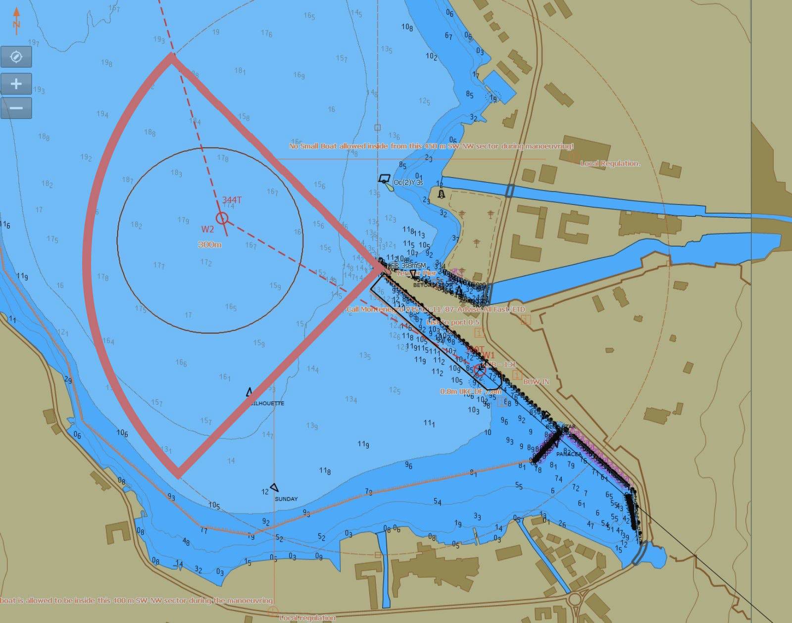
Port maneuvering water area
Pursuant to decision no. 10-10/4-22-759/3 of the line Ministry - Directorate for Maritime Traffic and Inland Navigation of 10 December 2022, it is PROHIBITED for all vessels to anchor and stay within a radius/range of 450 meters (2.43 cables), bordering with the SW and NW sectors of the Luža port light (C BI 3s 8m 5M)
Access to the port by land
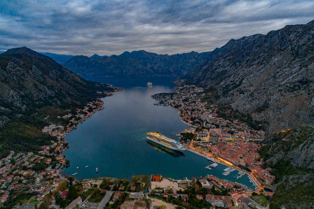
- Distance from Kotor Old Town 100 m
- Distance from Tivat airport 8 km
- Distance from Podgorica airport 85 km
- Distance from Dubrovnik airport 71 k

