The port is open for traffic 24/7
The port has two berths for cruise ships and three anchorages:
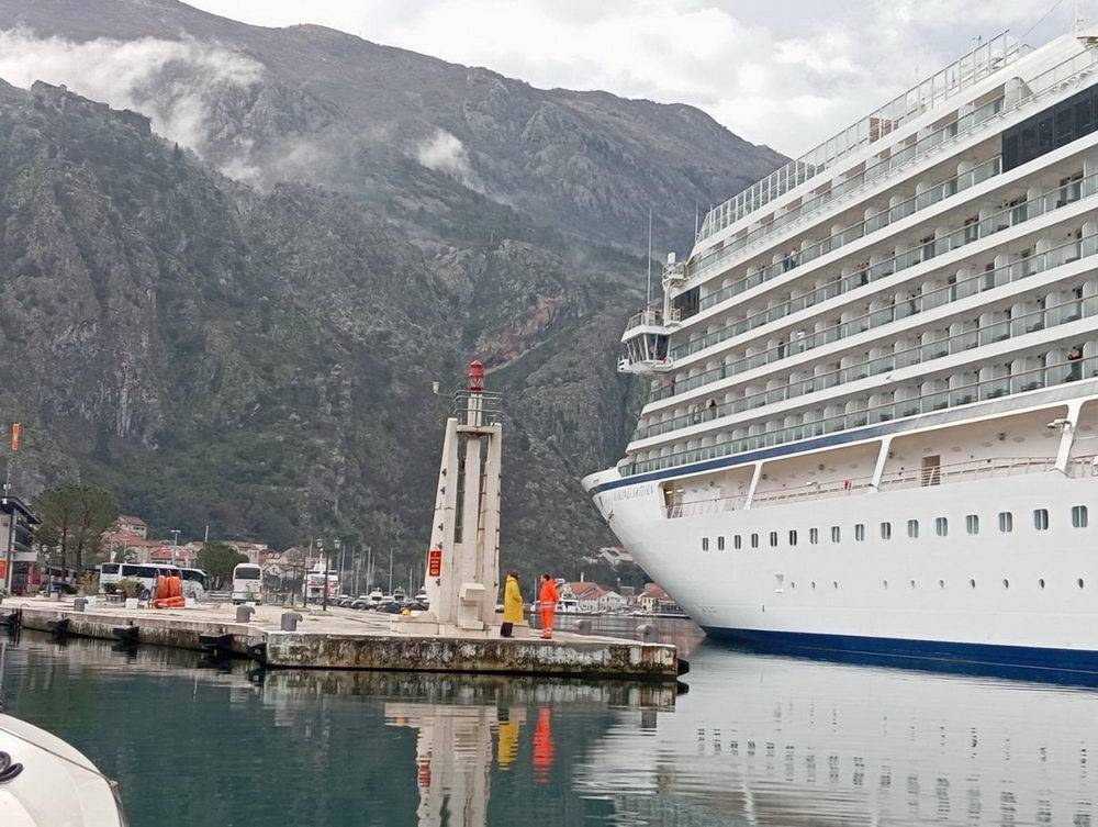
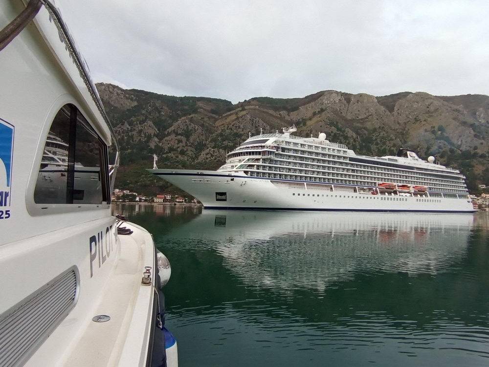
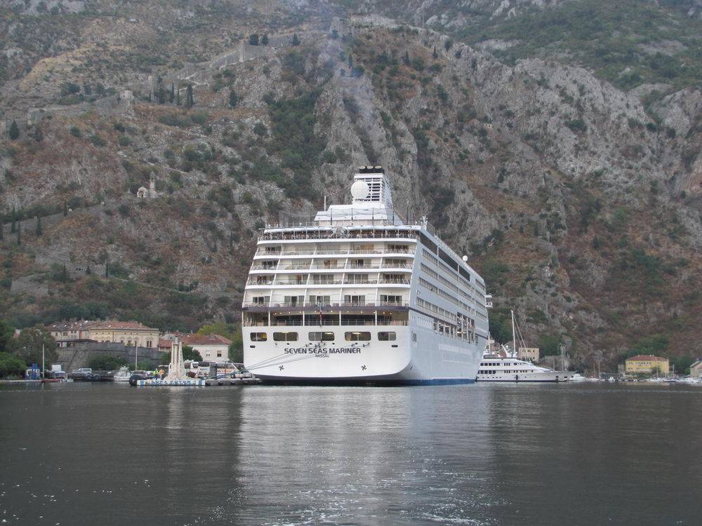
- berth 1 of 168 m in length at the international maritime border crossing point + 120 m, which are used for cruiser ship mooring. The draft depth ranges from 12.8 m at the top of the operational quay to 8.6 m at the part for international maritime traffic
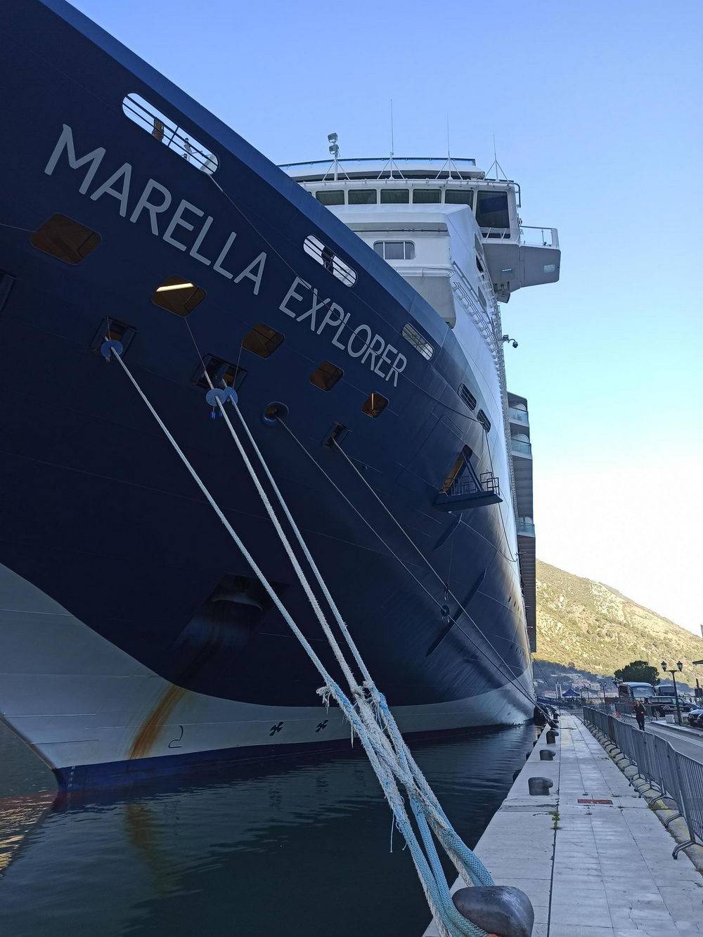
- berth 2 in the river Škurda of 76 m, which is used for mooring smaller ships, mega yachts and ferries on the stern berth, with a maximum draft of up to 4 m. The draft depth ranges from 12.8 m at the top of the operational quay to 3 m
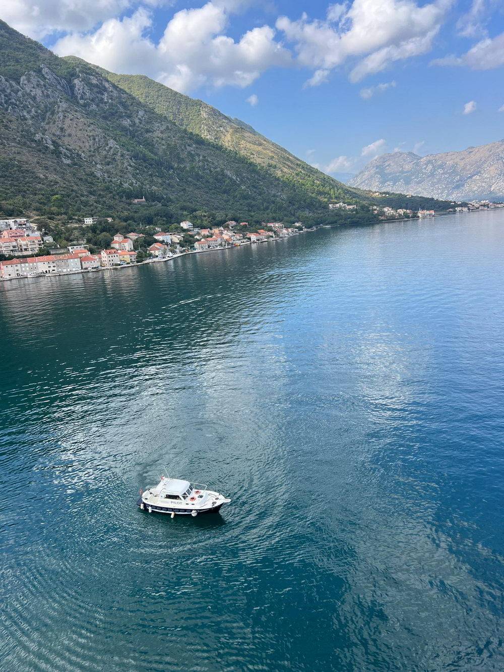
- anchorage no. 1 Kamenarovići cove (see map)
- anchorage no. 2 Orahovac cove (see map)
The width of the operational quay is 6 meters from the water line while the area of the operational quay at the international maritime border crossing point area is 4000 m².
Characteristics of cleats and bumpers


Cleat layout map


Navigation
- Latitude 42˚25,5' North latitude
- Longitude 18˚46,1' East longitude
- Maximum draft for ships over 150m is 7.8m
- Admiralty Chart: 1582 /Admiralty Port: 47
- Time Zone: GMT +1 h
- UNCTAD Locode: ME KOT
Services
- pilotage services,
- mooring and unmooring services,
- water and power supply services,
- garbage collection services,
- vessel security and fire protection services,
- services for the use of port space by trucks bringing goods for customs clearance.
- passenger transfer services from and to anchorages;